
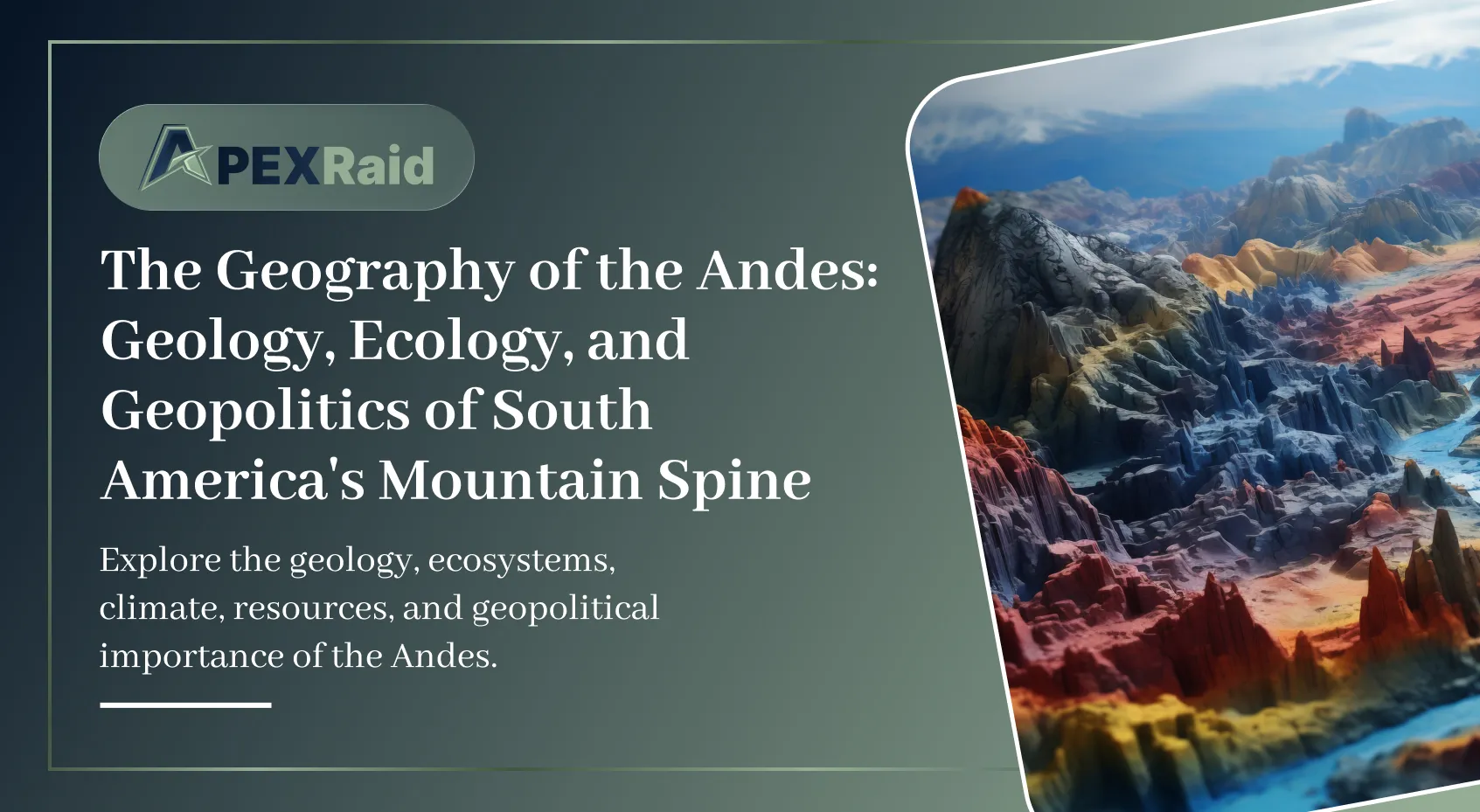
The Andes constitute the longest continental mountain range on Earth, forming a continuous highland along the western edge of South America. Stretching over 7,000 kilometers (4,300 miles) from Venezuela in the north to Patagonia in the south, the Andes traverse seven countries: Venezuela, Colombia, Ecuador, Peru, Bolivia, Chile, and Argentina. This massive geological formation is not merely a topographical feature; it is a profound climatic and ecological barrier that dictates the weather patterns, biodiversity, and human settlement of the entire South American continent. According to research published in Geology, the Andes are the world's only mountain range that spans both the tropics and the sub-Antarctic, creating an unparalleled diversity of ecosystems within a single continuous formation.
This guide provides a comprehensive, evidence-based exploration of the Andes, examining their geological origins, ecological complexity, hydrological significance, and the geopolitical challenges they present in the 21st century.
Tectonic Formation and Geological Structure
The Andes are a classic example of a continuous, active orogenic belt. Their formation is the direct result of tectonic plate subduction. Approximately 50 million years ago, during the Cenozoic Era, the dense oceanic crust of the Nazca Plate (and to a lesser extent, the Antarctic Plate) began subducting beneath the lighter continental crust of the South American Plate. This ongoing, violent collision forces the continental crust to buckle, fold, and thrust upward, creating the massive elevations characteristic of the Andes. Geological research on the Andean orogeny has identified at least three distinct phases of uplift, with the most recent and dramatic uplift occurring in the last 5 to 10 million years.
Because the subduction process is active and ongoing, the Andes are inherently unstable. The region is one of the most volcanically and seismically active zones on the planet, forming a major segment of the Pacific Ring of Fire. The range hosts hundreds of active stratovolcanoes, including Ojos del Salado on the Argentina-Chile border, which, at 6,893 meters (22,615 feet), is the highest active volcano in the world. The constant tectonic friction also subjects the western coast of South America to devastating megathrust earthquakes, such as the 1960 Valdivia earthquake in Chile, which remains the most powerful earthquake ever recorded by modern seismography (measuring 9.5 on the moment magnitude scale). USGS research on megathrust earthquakes identifies the Chile-Peru subduction zone as one of the highest-risk seismic zones globally, with a recurrence interval for magnitude 8+ earthquakes of approximately 50-100 years.
Topographically, the Andes are not a single, uniform ridge. They consist of a complex series of parallel and diverging cordilleras (mountain chains) separated by deep, highly fertile depressions and expansive high-altitude plateaus. The most prominent of these plateaus is the Altiplano, spanning parts of Peru and Bolivia. The Altiplano is the second most extensive high plateau on Earth, surpassed only by the Tibetan Plateau. It sits at an average elevation of 3,750 meters (12,300 feet) and contains Lake Titicaca, the highest navigable lake in the world, which serves as a massive thermal reservoir that significantly mitigates the harsh extremes of the high-altitude climate.
Climatic and Ecological Zones
The sheer verticality and immense latitudinal span of the Andes create an unparalleled diversity of climates and ecosystems. The mountains act as a massive wall that violently disrupts global atmospheric circulation. In the southern latitudes, the Andes block moisture-laden westerly winds coming off the Pacific Ocean. As this air is forced upward over the mountains (orographic lift), it cools and drops its moisture as rain and snow on the western (Chilean) slopes, creating lush temperate rainforests. As the dry, depleted air descends the eastern slopes into Argentina, it creates a massive rain shadow, resulting in the arid steppes of Patagonia.
Conversely, in the central and northern Andes, the prevailing trade winds blow from the east across the Amazon basin. Here, the eastern slopes receive immense amounts of rainfall, sustaining incredibly dense, biodiverse cloud forests (the Yungas). By the time the air crosses the peaks to the western slopes (in Peru and northern Chile), it is entirely devoid of moisture, contributing to the formation of the Atacama Desert, widely considered the driest non-polar desert in the world. Climatological studies of the Atacama have documented that some regions receive less than 1 millimeter of precipitation annually, and certain weather stations have never recorded measurable rainfall.
The Humboldt Current and Its Influence
The interaction between the Andes and the Humboldt Current (also known as the Peru Current) is a critical component of the region's climate system. This cold, nutrient-rich ocean current flows northward along the western coast of South America, chilling the air above it. When this cold, moist air encounters the warm, dry coastal desert, it creates a persistent temperature inversion and dense coastal fog (known locally as camanchaca). This fog provides the only source of moisture for many coastal desert ecosystems and plays a critical role in the region's hydrological cycle. Marine biology research identifies the Humboldt Current as one of the most productive marine ecosystems on Earth, supporting a significant portion of the global fish catch, including the Peruvian anchoveta fishery.
Because temperature drops predictably with altitude, ecologists and geographers classify the Andes into distinct altitudinal zones, a concept pioneered by the Prussian geographer Alexander von Humboldt in the early 19th century. These vertical zones determine exactly which flora, fauna, and human agricultural practices can survive at a given elevation:
- Tierra Caliente (Hot Land): From sea level to approximately 1,000 meters. This zone is characterized by tropical heat and high humidity. It is the domain of dense lowland rainforests and large-scale tropical agriculture, including the cultivation of cacao, bananas, and sugar cane.
- Tierra Templada (Temperate Land): Ranging from 1,000 to 2,500 meters. This is considered the most hospitable zone for human habitation, featuring mild, spring-like temperatures year-round. It is the primary zone for coffee cultivation and hosts many of the region's major cities, including Medellín, Colombia, and Quito, Ecuador.
- Tierra Fría (Cold Land): Stretching from 2,500 to 3,500 meters. The air becomes significantly thinner and nighttime temperatures frequently drop below freezing. Agriculture here is restricted to hardy, cold-resistant crops such as potatoes, quinoa, and barley. The high-altitude capital cities of Bogotá, Colombia, and La Paz, Bolivia, are situated in this zone.
- Tierra Helada (Frozen Land): Extending from 3,500 to approximately 4,500 meters. This harsh, treeless alpine tundra environment (known locally as the páramo or puna) is dominated by low shrubs, resilient grasses, and massive herds of grazing camelids, specifically llamas, alpacas, and vicuñas. Human permanent habitation is sparse and entirely dependent on pastoralism.
- Tierra Nevada (Snow Land): Above 4,500 meters. This zone is characterized by permanent snowfields, glaciers, and bare rock. It is a hostile, hypoxic environment devoid of human settlement and largely devoid of complex biological life, serving primarily as a massive, frozen reservoir of fresh water for the continent below.
Biodiversity Hotspots and Endemism
The Andes are recognized as one of the world's premier biodiversity hotspots, hosting an extraordinary concentration of endemic species. Conservation International identifies the Tropical Andes as the most biodiverse hotspot on Earth, containing over 45,000 plant species, of which more than 20,000 are endemic — meaning they are found nowhere else on the planet. This represents approximately 15% of all known plant species on Earth, concentrated in just 1% of the world's land area.
The eastern slopes of the Andes, particularly in Colombia and Ecuador, are home to some of the most diverse cloud forests on Earth. These forests are characterized by persistent low-level cloud cover, which creates a constantly moist environment ideal for epiphytic plants, including orchids, bromeliads, and mosses. Ecological research on cloud forests has identified over 3,000 species of orchids in the Andean cloud forests, representing more than 10% of the world's total orchid species, many of which are highly localized and threatened by habitat fragmentation.
The fauna of the Andes is equally remarkable. The Andean condor (Vultur gryphus), with a wingspan of over 3 meters (10 feet), is among the largest flying birds on Earth. The spectacled bear (Tremarctos ornatus), the only bear species native to South America, inhabits the cloud forests of the northern Andes. The Andean flamingo (Phoenicoparrus andinus) breeds exclusively in the high-altitude lakes of the Altiplano. According to the IUCN Red List, over 400 vertebrate species in the Andes are currently classified as threatened, primarily due to habitat loss, climate change, and human encroachment.
Glaciology and the Hydrological Cycle
The high-altitude glaciers of the Andes are a critical component of South America's hydrological cycle. While the continent possesses the massive Amazon River network, the western slopes and the high-altitude cities rely almost exclusively on glacial meltwater for their agricultural, industrial, and municipal water supplies. During the dry season, the slow melting of these ancient ice fields sustains the rivers that flow down into the arid coastal plains.
However, the Andean glaciers are currently retreating at an unprecedented and alarming rate due to anthropogenic climate change. The tropical glaciers of the Andes, which account for over 99% of all tropical glaciers on Earth, are particularly vulnerable to fractional increases in global temperatures. Extensive glaciological surveys published in the Journal of Glaciology confirm that glaciers in Peru, Bolivia, and Ecuador have lost between 30% and 50% of their surface area and mass since the late 1970s. In some regions, such as the Cordillera Blanca in Peru, the rate of retreat has accelerated to over 20 meters per year, with some smaller glaciers having disappeared entirely.
The rapid retreat of these glaciers presents a catastrophic, long-term threat to the region's water security. In the short term, the accelerated melting creates an artificial surplus of water, frequently causing devastating glacial lake outburst floods (GLOFs). However, once 'peak water' is surpassed and the glaciers shrink beyond recovery, the steady, reliable flow of meltwater during the dry season will collapse. This impending hydrological deficit directly threatens the agricultural output of the valleys, the hydroelectric power generation that sustains national grids, and the basic drinking water supply for tens of millions of urban residents in cities like Lima and La Paz. The IPCC Sixth Assessment Report identifies the Andean region as one of the most water-stressed regions on the planet, with projected glacial loss expected to reduce dry-season river flow by up to 30% by 2050.
The Andes and Climate Change: A Regional Perspective
The impact of climate change on the Andes extends beyond glacial retreat. Rising temperatures are driving altitudinal shifts in vegetation zones, with species gradually migrating upward to track their preferred climate envelopes. This migration is constrained by the finite height of the mountains — species that reach the highest elevations have nowhere left to go, leading to what ecologists term 'mountaintop extinction.' Research published in Ecology and Evolution has documented that cloud forest species in the Andes have shifted their ranges upward by an average of 2.5 meters per year over the past three decades, with some species shifting by over 5 meters per year in the most rapidly warming regions.
Changes in precipitation patterns are also affecting the Andes. In the northern Andes, wet-season rainfall has increased, leading to more frequent landslides and flooding. In the southern Andes, particularly in Chile and Argentina, precipitation has decreased, exacerbating drought conditions and fueling wildfires. Climatological analyses have identified a clear trend toward more extreme precipitation events, with the wettest days becoming wetter and the driest days becoming drier, a pattern consistent with global climate model projections for the region.
Human Settlement and the Inca Legacy
Despite the extreme altitude, brutal terrain, and tectonic volatility, the Andes have supported complex, highly advanced human civilizations for thousands of years. The most famous of these is the Inca Empire, which, at its zenith in the 15th century, was the largest empire in pre-Columbian America. The Inca achieved unprecedented agricultural engineering, constructing massive, terraced farming systems (andenes) on near-vertical mountain slopes to maximize arable land and prevent catastrophic soil erosion. These terraces, many of which remain in use today, represent one of the most sophisticated pre-industrial agricultural systems ever developed.
The Inca also engineered a staggering 40,000-kilometer network of paved roads (Qhapaq Ñan) that traversed the harshest terrain on the continent, linking the administrative center of Cusco to the farthest reaches of the empire. UNESCO recognizes the Qhapaq Ñan as a World Heritage Site, acknowledging its significance as one of the most extraordinary engineering achievements in human history. The road system included suspension bridges, tunnels, and stairways cut into rock faces, demonstrating an intimate understanding of the challenging Andean topography.
In the modern era, the Andes remain the demographic and economic backbone of western South America. The geological processes that built the mountains also concentrated immense mineral wealth within the crust. The Andes hold the world's largest deposits of copper (primarily in Chile and Peru), significant reserves of silver and gold, and over half of the world's known lithium reserves (concentrated in the 'Lithium Triangle' spanning the high-altitude salt flats of Bolivia, Argentina, and Chile). According to the US Geological Survey, Chile alone accounts for approximately 28% of global copper production, and the Lithium Triangle holds an estimated 58% of the world's known lithium reserves.
Geopolitics and the Resource Race
This mineral wealth drives the macroeconomic stability of these nations, but it also creates profound geopolitical and environmental friction. Large-scale, open-pit mining operations require massive quantities of fresh water, putting the industrial sector in direct conflict with local indigenous communities and agricultural operations over access to a rapidly dwindling resource. Research on mining-water conflicts in the Andes has documented numerous instances of communities successfully challenging mining operations in court, highlighting the growing tension between resource extraction and environmental protection.
Furthermore, the extraction of lithium, a critical component for the global transition to electric vehicles and renewable energy storage, has positioned the Andes at the center of a 21st-century geopolitical resource race, drawing intense economic interest from the United States, China, and the European Union. China currently dominates global lithium processing, controlling approximately 60% of global refining capacity, which has prompted western governments to seek alternative supply chains. Geopolitical analysis of the lithium trade identifies the Andean countries as critical actors in the global energy transition, with their policy decisions having far-reaching implications for international trade and climate policy.
Conclusion
The Andes are a definitive example of how deep geological time and violent tectonic forces shape the immediate reality of human existence. From the high-altitude adaptation of the human respiratory system to the geopolitical battle for copper and lithium, the mountains are not merely a backdrop to South American history; they are the fundamental architect of its past, present, and future. The challenges facing the Andes — climate change, water scarcity, biodiversity loss, and resource-driven geopolitics — are emblematic of the broader challenges facing the planet in the 21st century.
Understanding the geography of the Andes is therefore not merely an academic exercise; it is essential for anyone seeking to comprehend the dynamics of sustainable development, climate adaptation, and international relations in one of the world's most consequential and vulnerable regions. As the glaciers retreat and the competition for resources intensifies, the decisions made in the shadow of these mountains will reverberate far beyond their slopes, shaping the future of South America and the global economy.